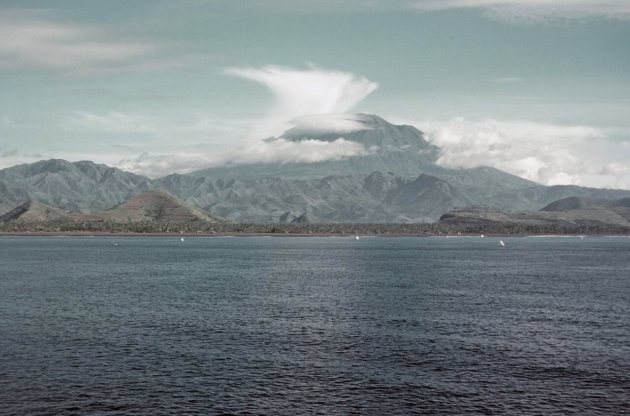
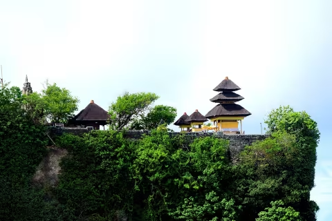
Mount Agung (Gunung Agung) is Bali's highest peak at 3,031m and the island's most sacred mountain, believed by Balinese Hindus to be the seat of the gods and the spiritual centre of the universe. The mountain last erupted significantly in 1963, killing over 1,000 people, and has shown periodic activity since.
Trekking to the summit is one of the most challenging and rewarding experiences in Bali, typically beginning at 1am from the trailhead at Pura Pasar Agung to reach the rim for sunrise. The route ascends through forest, then lava fields, to a dramatic caldera rim at 3,031m with views across all of Bali and over to Lombok and Java on clear days.
Mount Agung as a sacred active volcano
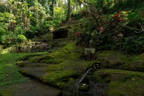
Mount Agung is Bali’s highest mountain and an important sacred landscape for Balinese Hindus. It lies in Karangasem, and several recognised approaches are associated with temples and villages on or around the mountain. The summit, slopes, forests, volcanic rock, and temples should be treated with respect. A trekking route is not merely a sightseeing path, and access can be limited by religious activity, weather, volcanic conditions, or local decisions.
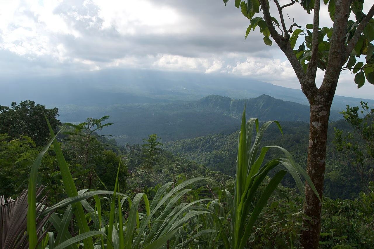
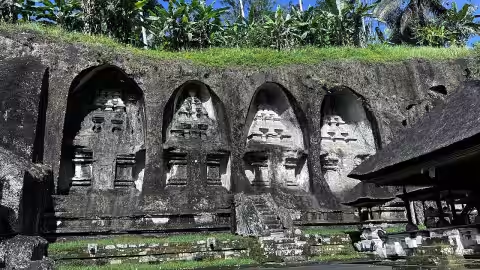
Mount Agung — gallery image 1
The mountain’s height, route length, terrain, and difficulty depend on the trailhead and the summit objective. Descriptions of a sunrise start or a particular duration are not guarantees. Loose rock, steep ground, darkness, cold, heat, rain, wind, and fatigue can all affect the activity. Visitors should use an experienced local guide and assess whether the climb is appropriate before committing.
Safety and current information
Mount Agung is an active volcano. Before travelling, check current official volcanic advisories, exclusion zones, weather, trail access, and emergency information. Historical eruption dates and old trekking reMount Agung — gallery image 2ports do not replace a current notice. If the authorities, temple caretakers, guides, or local operators advise against climbing, postpone the activity.
Do not enter a closed route, cross a barrier, or attempt to find an unofficial shortcut. Carry water, food, a headlamp, warm layers, sun protection, and secure footwear appropriate to the confirmed route. A phone is not a substitute for preparation or a guide. Tell someone your plan and return time, and keep the least experienced person in the group in mind when setting the pace.
Trailheads and religious context
Commonly discussed approaches include the Pura Pasar Agung area at Sebudi and routes associated with Besakih, but the usable trail and access conditions can change. Confirm the current trailhead, meeting point, permit or contribution arrangement, guide requirement, and return plan locally. Do not assume that one route’s timing or difficulty applies to another.
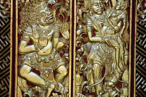
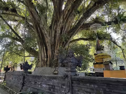
Temple areas are active religious places. Wear modest clothing, follow temple dress requirements, and ask before entering or photographing sacred spaces. The Pura Ulun Danu Batur guide provides a separate temple-and-volcano cultural reference, while the Pura Kehen guide describes another active temple. Respect each site’s own restrictions and do not treat ceremonies as tourist performances.
Planning a responsible climb
Start times, guide fees, permits, transport, and route access are not fixed destination facts. Confirm them immediately before departure. Plan enough daylight and energy for the descent, not only the ascent to a viewpoint. Do not start late if there is insufficient time to return safely. Weather can shift quickly at elevation, and a summit view, sunrise, or clear panorama is never guaranteed.
Take all rubbish back down, do not remove volcanic rocks or plants, and avoid disturbing wildlife. Keep noise low and respect other hikers, local residents, temple caretakers, and religious activity. Drones, commercial filming, and special equipment may require permission. If symptoms of exhaustion, injury, altitude discomfort, or exposure appear, stop and seek help rather than pushing toward the summit.
Frequently asked questions
Where is Mount Agung?
Mount Agung is in Karangasem Regency in eastern Bali and is the island’s highest mountain.
Can visitors climb Mount Agung at any time?
No. Access depends on volcanic advisories, weather, trail conditions, religious activity, local rules, and any active closures.
Which route should visitors use?
Trailheads and routes vary. Confirm the currently permitted route with local authorities or an experienced local guide before departure.
What equipment is important?
Bring a headlamp, water, food, warm layers, sun protection, secure footwear, and equipment appropriate to the confirmed route.
Is a sunrise view guaranteed?
No. Cloud, rain, wind, haze, route access, and volcanic conditions can prevent a sunrise or clear panorama.
Do temple rules apply to trekkers?
Yes. Dress modestly, follow temple requirements, ask before photography, and respect restricted or ceremonial areas.
Reviews reflect our overall Bali tour service quality.
5.0
from 24 Google reviews
RussiaKudo90
Google Review
5
I’m happy to leave this review because I know Made personally, and I can honestly say he’s one of the best guides and kindest people you’ll meet in Bali.
What makes him special isn’t just his deep knowledge of the island – though that alone is impressive. He knows all the hidden gems, the best times to visit popular spots, and always has interesting stories behind every temple and rice terrace. But more than that, he genuinely cares about the people he’s with. He doesn't treat it like a job; he treats it like he's showing his own friends around his home.
I’ve seen how he goes out of his way to make sure everything runs smoothly, how he checks in on comfort and safety, and how he handles any little issue with a smile. He's reliable, patient, and incredibly warm-hearted. If you're looking for someone who will not only show you beautiful places but also make you feel welcome and looked after – Made is your guy.
I truly hope this comment helps him, because he absolutely deserves more recognition. Thank you, Made, for being the amazing person and guide that you are! 🙏🇮🇩
A month ago
Leah Davidson
Google Review
5
The Best Tour Guide in Bali!
We honestly couldn’t recommend Made enough! From start to finish, he was absolutely fantastic and went above and beyond to make our trip around Bali so special.
Before we even arrived, Made’s communication was amazing. He helped us plan our whole trip, gave us fantastic advice and recommendations, and really took the time to understand what we wanted to see and do. He made everything so easy and stress-free for us.
Throughout our trip, Made looked after us incredibly well. He picked us up, took us to all the different places we wanted to visit, and even showed us some amazing places we probably wouldn’t have found ourselves. His knowledge of Bali is incredible — he knew so much about every place we visited and was always happy to explain things and answer our questions.
What really stood out to us was how kind, caring and genuine Made was. He didn’t just feel like a tour guide; we genuinely felt like we were being looked after by a friend. He always made sure we were comfortable, safe and enjoying ourselves, and nothing ever felt like too much trouble.
Everyone in his team was also absolutely fantastic. They were friendly, professional and made us feel so welcome throughout our trip.
Made played such a huge part in making our Bali holiday so memorable. If you’re looking for someone who is reliable, knowledgeable, kind and genuinely cares about giving you the best possible experience, we would 100% recommend him.
Thank you so much, Made, for looking after us and helping us have such an amazing time in Bali. We’ll definitely be recommending you to anyone visiting Bali — and hopefully we’ll see you again one day! ❤️🇮🇩
A month ago
Max Maxvik
Google Review
5
Excellent, the driver is responsible, punctual, drives well, knows a lot of places to relax, the sights of Bali, speaks Russian, English and Chinese well.
A month ago
Софья Меркулова
Google Review
5
Очень советую Мади в качестве гида. Он организовывал нам тур на Нусу Пениду, у него много друзей, который организуют вам все что угодно за очень выгодную плату. Мади очень дружелюбный и улыбчивый человек, он знает русский язык, поэтому с ним можно разговаривать и узнавать многое про Бали. Я его всем советую в первую очередь, он может показать вам весь остров и организовать туры на другие соседние острова и вулканы. Спасибо ему большое, нам очень понравилось с ним проводить время. Советуем вам выбрать именно его за его труд, старания и доброжелательность
Мади, спасибо тебе ❤️
7 months ago
GEDE BMTHAMV
Google Review
5
Thanks a lot
8 months ago
Валерия Келейникова
Google Review
5
Thank you for a great day in Ubud, Madi 🙏🏻 We really enjoyed our cozy and interesting trip)
A year ago
Р М
Google Review
5
No written review.
A year ago
Bakhtiyar Azagov
Google Review
5
Thank you for hospitality! We enjoy our travel in Bali with you
Excatly Mr Burteh! He is best tour guide and driver in Bali. Mr Murteh is local, thats why he has to much information about Bali
Perfect
A year ago
Elena Toroshniak
Google Review
5
Нам повезло, что знакомы с Маде. Это самый добрый и искренний человек на Бали
A year ago
Vit Mit
Google Review
5
Путешествие на Бали – это всегда погружение в мир красоты, духовности и уникальной культуры. Но по-настоящему раскрыть душу острова, прочувствовать его магию можно только с опытным и увлеченным проводником. Нам в этом невероятно повезло – мы встретили Маде!
Маде – не просто гид, он настоящий хранитель традиций и наследник балийской культуры. Он открыл нам не только знаменитые достопримечательности, но и тайные уголки острова, поделился своими знаниями о древних обычаях и верованиях. Благодаря Маде мы смогли:
* Почувствовать энергетику священных храмов: Маде рассказал нам об истории и значении каждого храма, помог правильно провести церемонии и почувствовать связь с духовным миром Бали.
* Погрузиться в атмосферу балийской деревни: мы побывали в гостях у местных жителей, познакомились с их бытом, попробовали традиционные блюда и даже приняли участие в мастер-классах по ремеслам.
* Насладиться природными красотами: Маде показал нам живописные рисовые террасы, вулканы, водопады и секретные пляжи, где можно было отдохнуть от шума и суеты.
Но самое главное – Маде подарил нам незабываемые эмоции, искреннее общение и теплоту. Он отвечал на все наши вопросы, учитывал наши пожелания и создавал атмосферу настоящего приключения.
Мы безгранично благодарны Маде за это удивительное путешествие! Он помог нам открыть для себя настоящий Бали – остров Богов, красоты и гармонии. Если вы планируете поездку на Бали, обязательно обратитесь к Маде – он сделает ваше путешествие незабываемым!
A year ago
Галина Бардымова
Google Review
5
Мадэ очень классный, дружелюбный и общительный, интересно рассказывает)
Ждет когда нужно, в общем, очень приятный) рекомендую
Можно обо всем договориться) если будет дождь, он сопровождает с зонтиком)
A year ago
Инна Звездина
Google Review
5
Спасибо большое, мы объехали за один день все прекрасные пляжи 😍
Остались очень довольны и будем рекомендовать друзьям 🙏🏻✨
A year ago
ЖАННА
Google Review
5
Хотим от всего сердца поблагодарить нашего гида Маде. Наше путешествие по Бали было незабываемо! Благодаря вам мы познакомились с этой чудесной страной! Нас не только возили по районам, но и рассказывали историю Бали❤️ мы чувствовали себя в полной безопасности и полную заботу о нас. Благодарим и до встречи вновь на Бали🫶🏻
A year ago
Карина Ревазян
Google Review
5
Veryyyy good
A year ago
Влад Хайбулин
Google Review
5
No written review.
A year ago
細野佳代子
Google Review
5
No written review.
A year ago
Alex Alex
Google Review
5
Очень рекомендую этого русскоговорящего балийца! 👍 Экскурсии с ним - это просто супер! 🤩 Он не только рассказывает интересные факты об острове и показывает самые красивые места, но и делится местными фишками, о которых не прочитаешь в путеводителях. 😉 Он очень внимательный и отзывчивый, с ним легко и приятно общаться.
2 years ago
Евгений Ширшин
Google Review
5
Маде добряк!) очень внимательный, и профессиональный гид! Уже много лет дружим с ним! Провез по всем уголкам прекрасного Бали! Хорошо говорит на русском и английском языках! Аккуратно водит машину! Очень адекватные цены на экскурсии!! Знает все вкусные и красивые места! Поможет со всеми вопросами на Бали, такие как аренда скутера, или аренда жилья! Встретит и проводит в аэропорт, если вы с ребенком то у Маде прекрасные дочки которые с удовольствием побуду няней!))
Всем рекомендую это агенство!!
2 years ago
Сергей Милых
Google Review
5
No written review.
2 years ago
Denise
Google Review
5
Made did an amazing job as a guide!
Comfortable pick-up & drop-off, safe driving, very friendly & helpful, explained a lot while driving & visiting the spots. He knows a lot and is happy to answer any questions! He also brought local fruits for testing! Amazing day, thank you so much! 🙏🏼🫶🏼🧡
2 years ago
Stijn Heerze
Google Review
5
Really nice and kind guide. Knows a lot about Bali. Also a very good driver.
2 years ago
Juliette Bos
Google Review
5
Very nice driver, good communication and good service. Perfect!
2 years ago
Nengah Negare
Google Review
5
This company is the best, good driver and pofesional guide, i am very enjoy visiting Bali island 👍👍👍
2 years ago
Ni Kadek Kardiasih
Google Review
5
Sakuraba give me best service treveling in bali. Thakyou very much for guide bali sakuraba
2 years ago
Visit Mount Agung with a Trusted Bali Guide
Tell us your travel dates, group size, and any special requests — we'll plan a seamless private tour that includes Mount Agung and more of Bali's best.