Bali Temples & Spiritual Sites
4 destinations
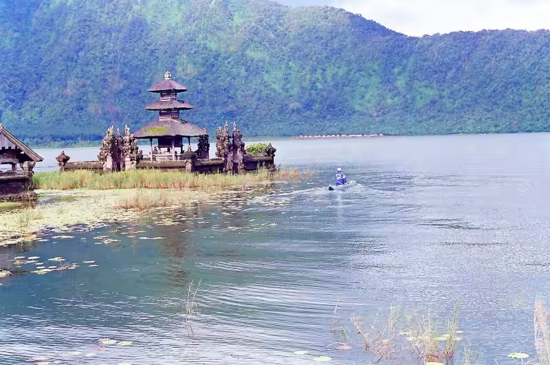
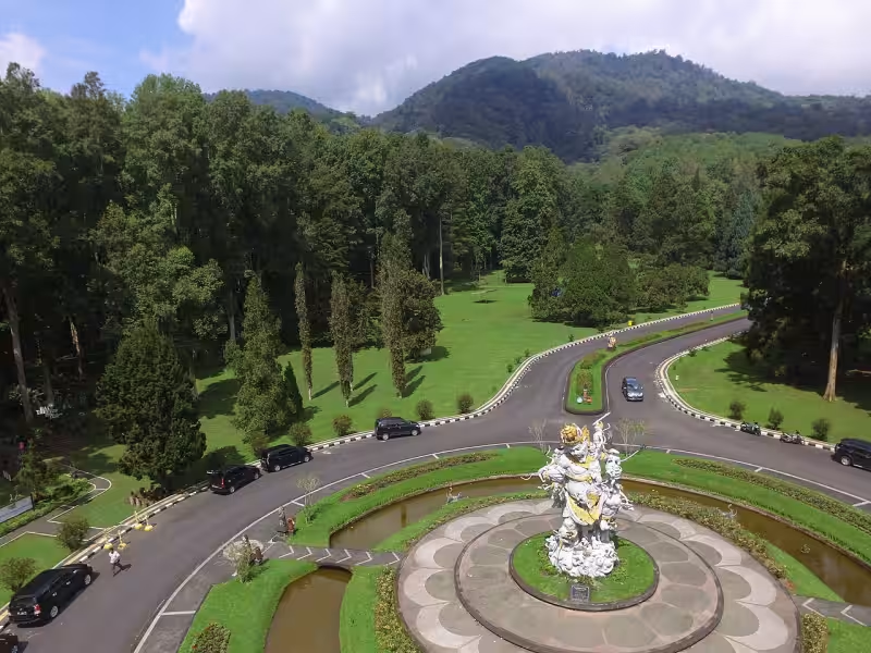
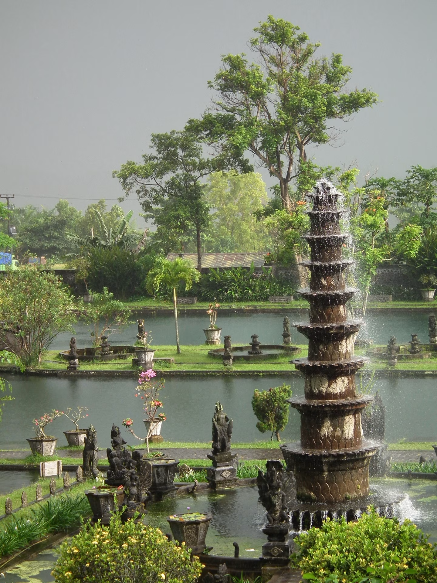
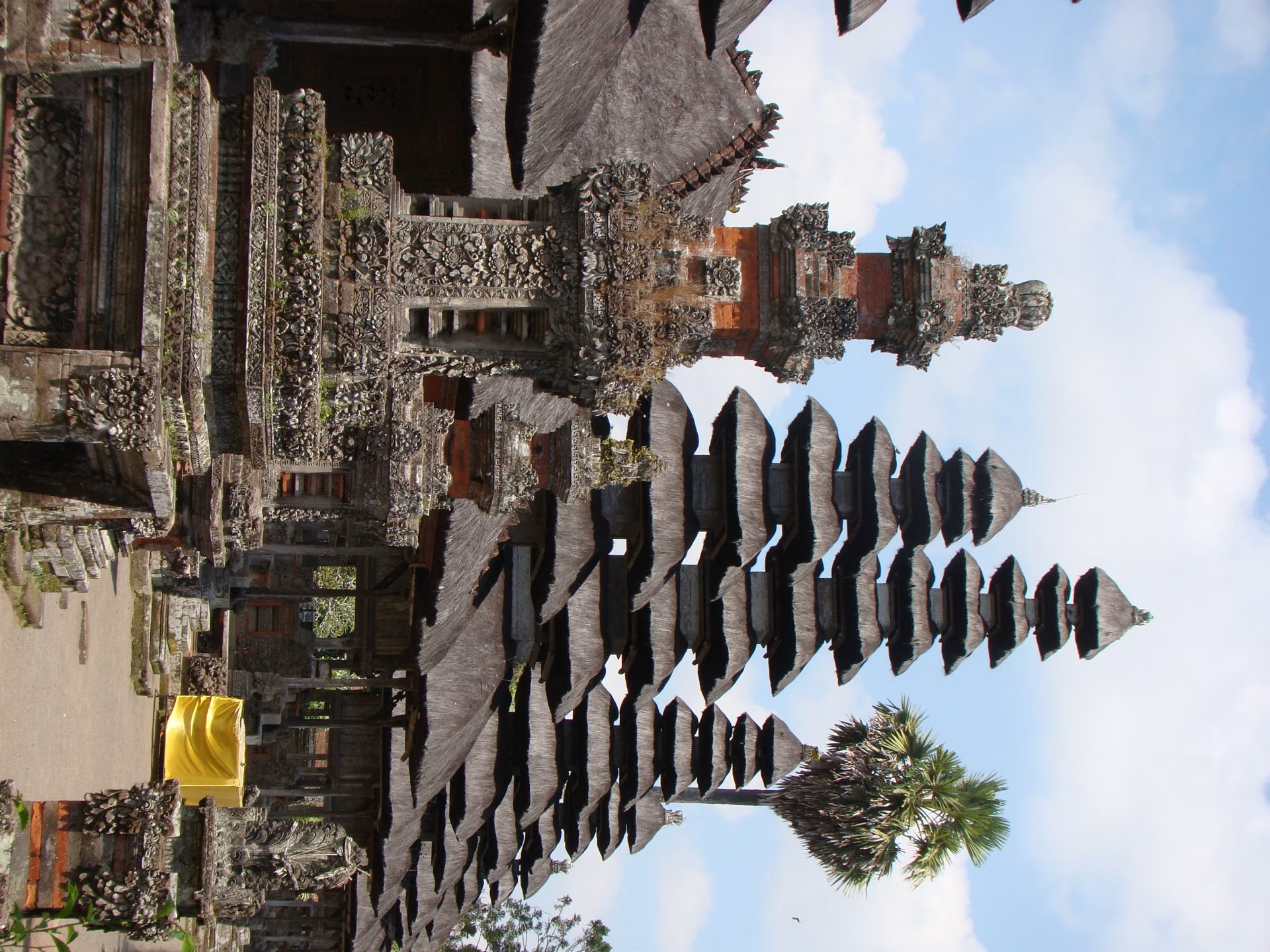
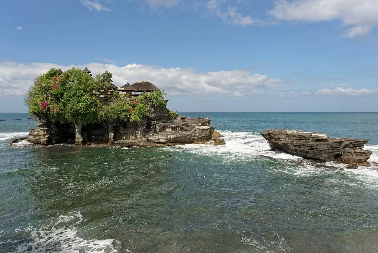
Bali is an island of more than 20,000 temples — from cliffside sea temples to mountain shrines draped in morning mist. Each Bali temple tells a story of devotion, art, and ancient Hindu Balinese culture passed down through generations.
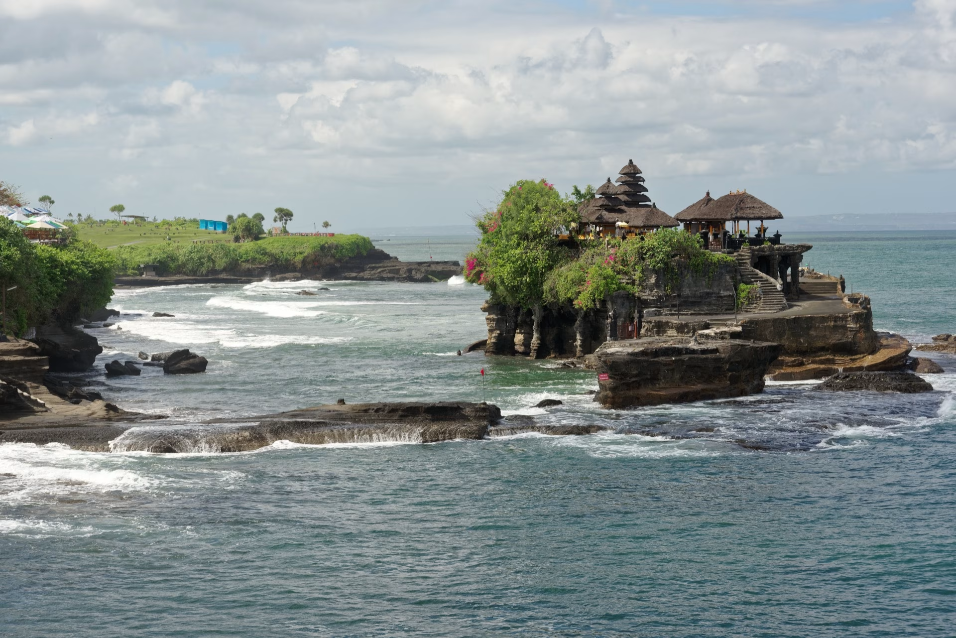
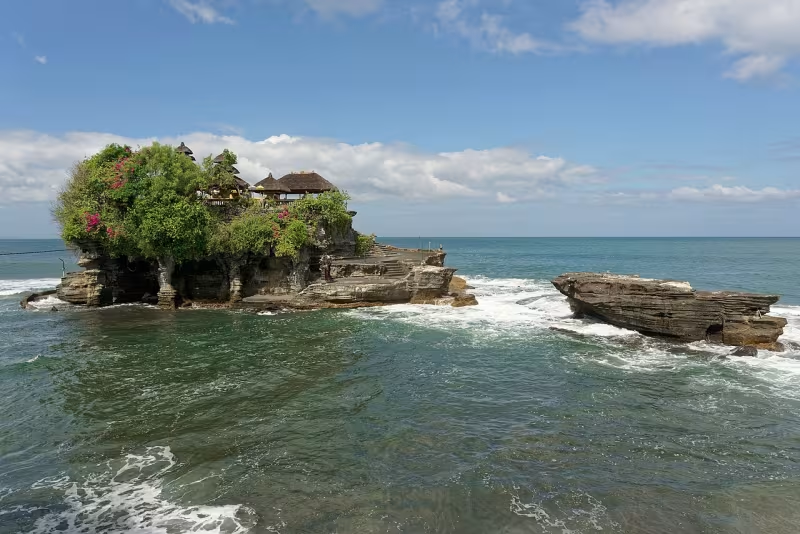
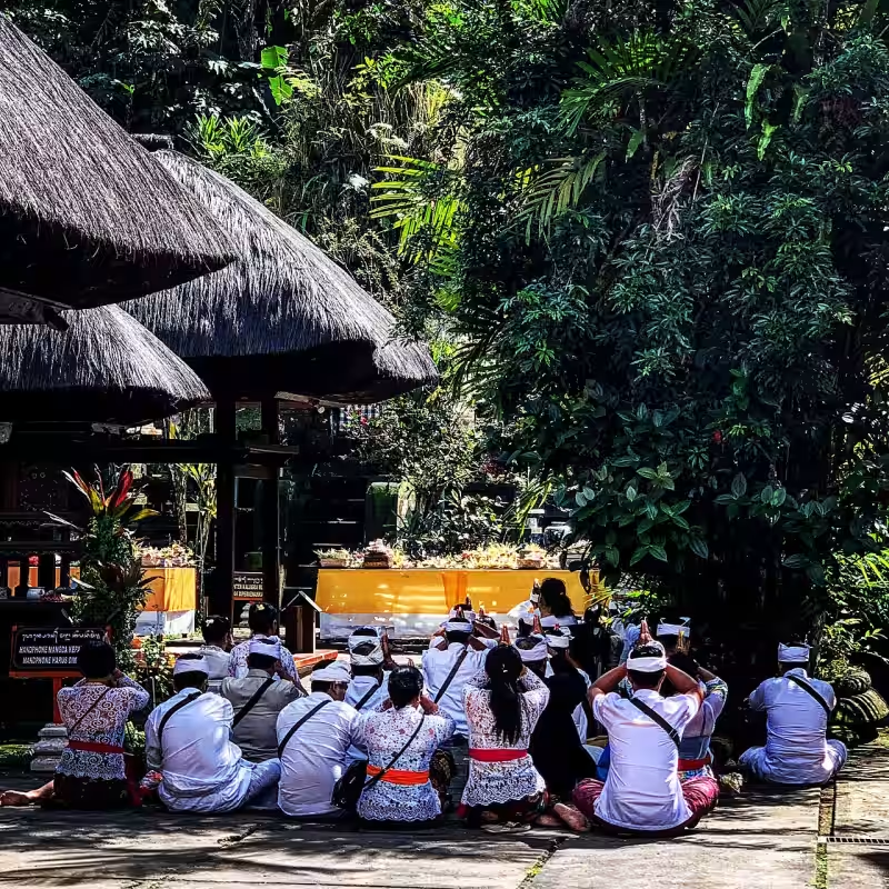
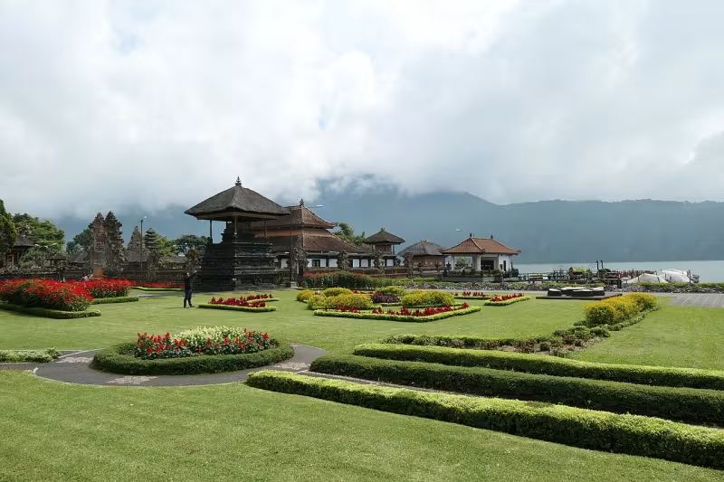
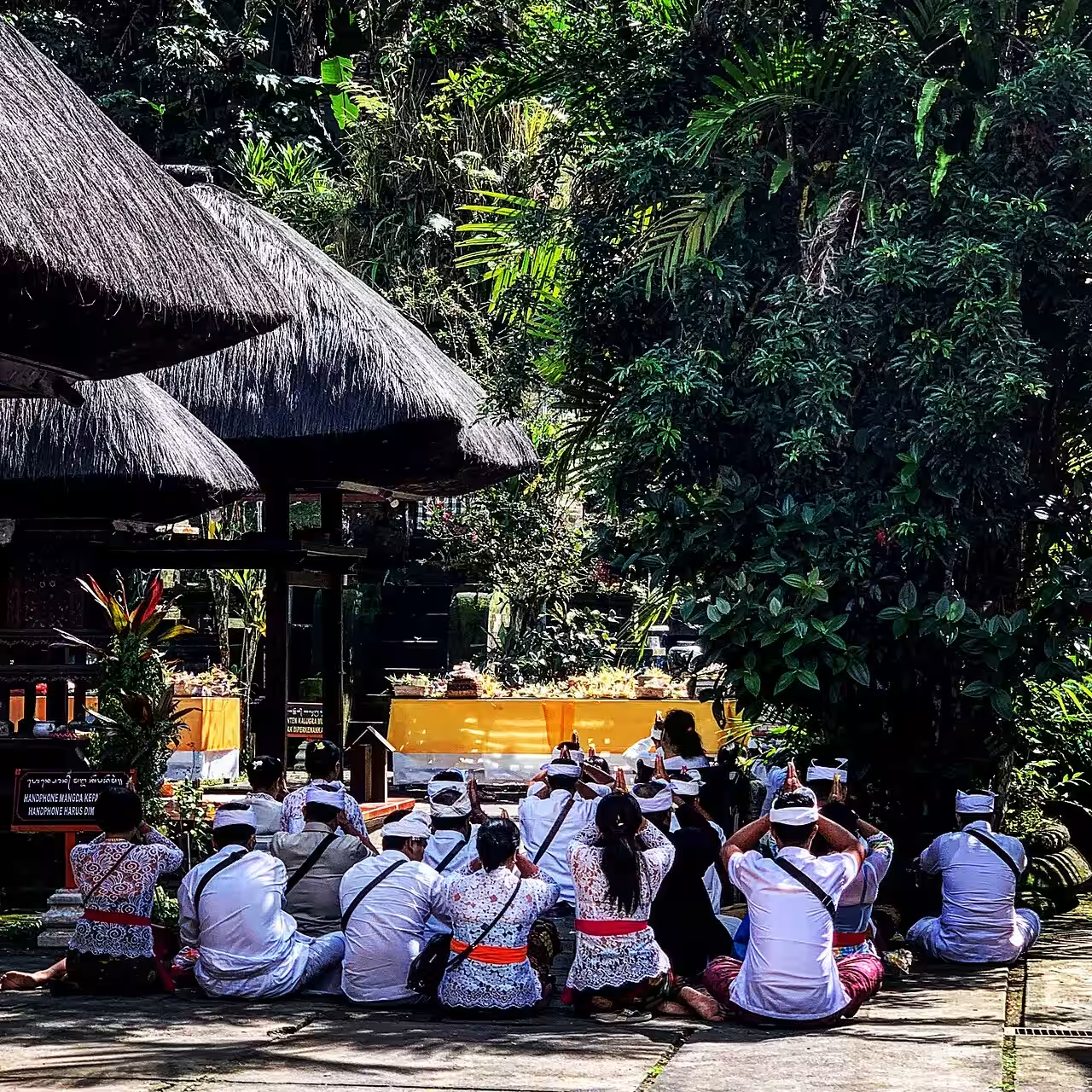
<h3>Types of Balinese Temples</h3><p>Temples on Bali fall into recognisable types: sea temples built on coastal outcrops (Tanah Lot, Uluwatu), water temples centred on natural springs used for purification rituals (Tirta Empul, Ulun Danu Beratan), and the island's spiritual centre, Pura Besakih, positioned on the slopes of sacred Mount Agung. Most active temples require visitors to wear a sarong and sash, provided free or for rent at the entrance, and some restrict entry during a woman's menstruation out of respect for local custom.</p><h3>Temple Architecture and Ritual Calendar</h3><p>Balinese temple architecture follows a consistent underlying logic even though individual temples look very different. Most are arranged as a series of courtyards moving from a public outer area toward an increasingly sacred inner sanctum, marked by split gates (candi bentar) and tiered stone or thatched-roof shrines called meru, whose number of tiers signals the shrine's importance. Temples are not static heritage sites frozen for visitors — they are active places of worship tied to a ceremonial calendar based on the 210-day Balinese pawukon cycle, so a temple that looks quiet on one visit can be full of offerings, gamelan music, and dressed worshippers a few weeks later for its odalan (anniversary) ceremony.</p><h3>Why Etiquette Matters Here</h3><p>Because temples remain functioning religious sites, the etiquette around them is not just a formality: dress and behaviour standards exist to maintain a sense of ritual purity for practitioners, not to create a photo opportunity. Following posted rules — covering shoulders and knees, wearing a sash, keeping voices low near an active ceremony, and not climbing on structures for photos — is treated as a basic condition of entry rather than an optional courtesy.</p><h3>Tips for Visiting</h3><p>Plan around light and crowds as much as ritual: Pura Tanah Lot and Pura Uluwatu are both best near sunset, with Uluwatu also hosting an evening Kecak fire dance, while Pura Lempuyang is calmest and least crowded in the very early morning. Bring a sarong (or budget a small rental fee), and be wary of unofficial guides or photographers at busy sites like Besakih or Lempuyang who may pressure visitors into paid "packages" beyond the standard entrance ticket.</p><h3>Which Temples to Prioritise</h3><p>For a first Bali temple visit, Pura Tirta Empul offers the most hands-on experience through its water purification pools, while Pura Besakih is the one to see for scale and religious significance as the island's largest temple complex. Goa Gajah and Pura Gunung Kawi sit close together near Ubud and combine well as ancient rock-cut sites from the same half-day route. If lake and mountain scenery matter more than architecture, Pura Ulun Danu Beratan and Pura Ulun Danu Batur both sit directly on the water.</p>
Volcanoes & Mountains Bali
4 destinations
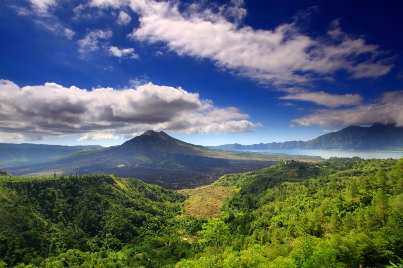
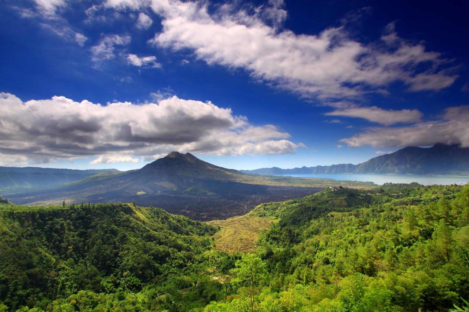
Bali's volcanic spine rises dramatically from the island's center, anchored by sacred Mount Agung and the active Mount Batur. Whether you trek to a crater rim at dawn or gaze across a caldera from Kintamani, Bali's volcanoes & mountains offer perspective unlike anywhere else.
<h3>Agung and Batur Compared</h3><p>Mount Agung, at 3,031 metres, is Bali's highest point and considered the island's spiritual axis; it last erupted in 2017-2019 and remains an active, monitored volcano. Mount Batur, at 1,717 metres, sits inside a large caldera beside Lake Batur — Bali's largest lake — and last erupted in 1999-2000. Batur's pre-dawn summit trek, usually starting around 2-3am to reach the rim for sunrise, is one of Bali's most popular hikes and normally requires a local guide. Kintamani offers caldera and lake views without requiring a climb at all.</p><h3>Why the Volcanoes Matter Culturally</h3><p>Bali's volcanoes sit on the Sunda Arc, part of the Pacific Ring of Fire, and their eruptions have shaped both the island's soil and its culture. Volcanic ash weathers into some of the fertile ground that makes rice farming possible across central and eastern Bali, while Mount Agung in particular is regarded in Balinese Hindu cosmology as the abode of the gods and the spiritual centre of the island — the reason Bali's mother temple, Besakih, is built on its southern slope.</p><h3>Active and Monitored</h3><p>Both volcanoes remain geologically active and are monitored continuously by Indonesia's Center for Volcanology and Geological Hazard Mitigation (PVMBG), which assigns an alert level that can change with little notice. Trekking operators and local guides track this status closely, since it directly affects which routes and summits are open on any given day — a genuinely important safety detail, not a bureaucratic formality.</p><h3>Tips for Trekking</h3><p>If you're climbing Mount Batur, book through a local guide the day before (guides are required, not optional), wear layers since the pre-dawn summit is cold even though Bali is tropical, and bring a proper torch or headlamp — most groups start hiking around 2-3am to reach the rim for sunrise. Check the current PVMBG alert level before committing to any volcano trek, since access can be restricted with little notice.</p><h3>Which Peak to Choose</h3><p>Mount Batur's guided sunrise trek is the right choice for most visitors with reasonable fitness; if you'd rather skip the climb entirely, Kintamani and the shores of Lake Batur give a similar caldera view without any hiking. For a quieter alternative up north, the twin-lake area around Munduk Village (Lake Tamblingan and Lake Buyan) sees far fewer visitors than Batur or Kintamani. Mount Agung should be reserved for experienced, well-prepared hikers with a specialist guide, and only after confirming there's no restriction around ceremonies at Besakih on its slope.</p>

Rice Terraces & Jungle Bali
4 destinations
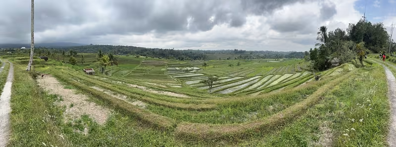
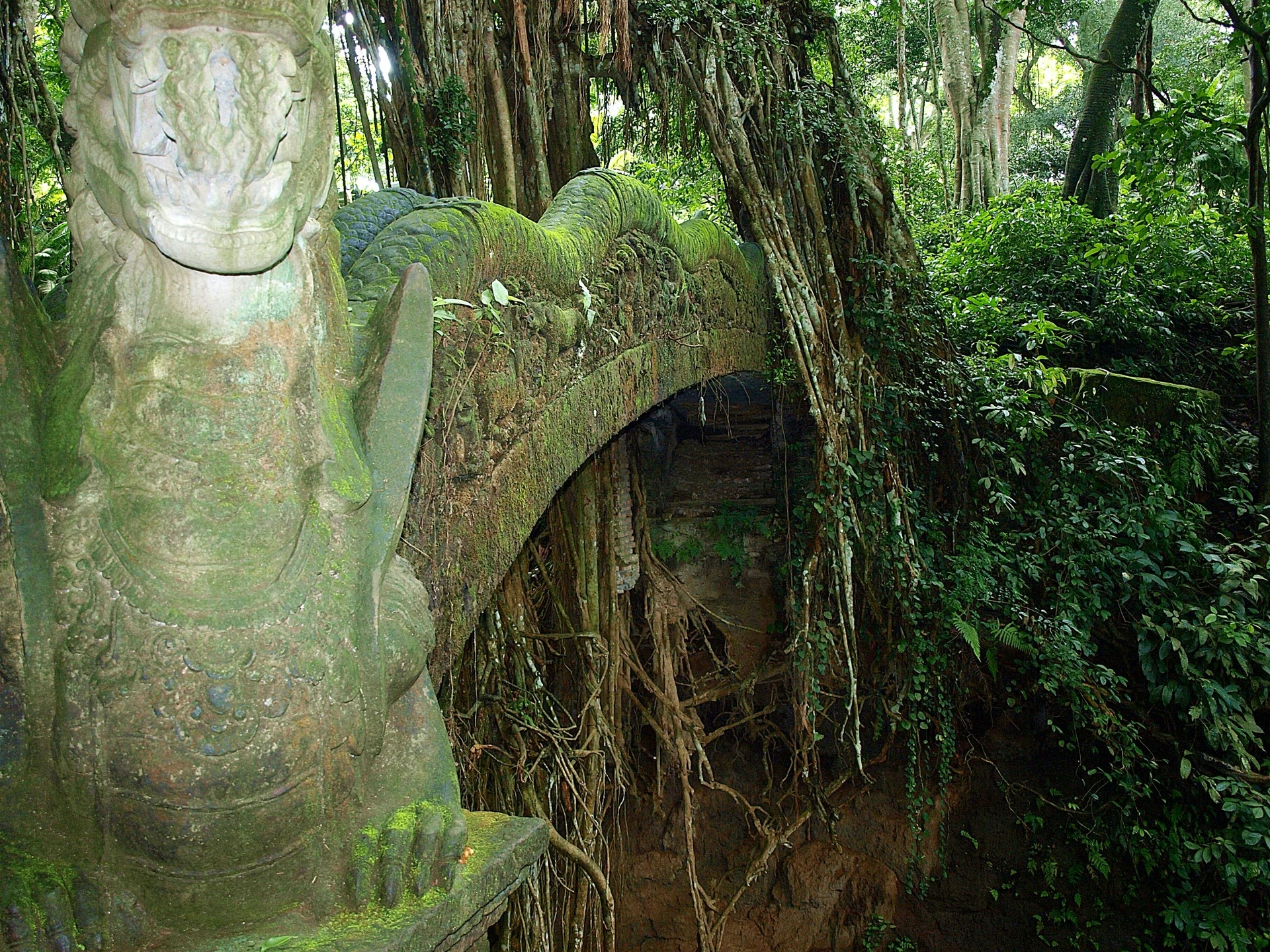
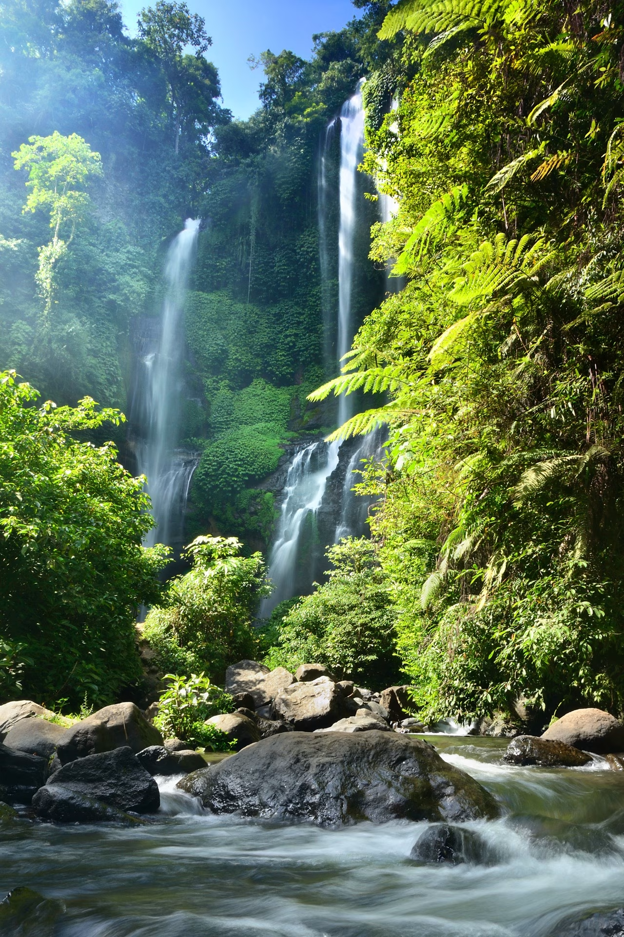
Bali's UNESCO-listed subak irrigation system has sculpted its hillsides into some of the world's most beautiful landscapes. Walk through tiered rice paddies at sunrise, cross bamboo bridges over jungle gorges, and discover the green heart of Bali.
<h3>The Subak System</h3><p>The Subak system — a centuries-old cooperative water-sharing network guided by the Tri Hita Karana philosophy — was inscribed on UNESCO's World Heritage List in 2012, covering five terrace and water-temple landscapes across roughly 19,000 hectares. Subak is more than an irrigation technique — it is a cooperative institution: each subak is a farmer-run association that manages a shared water source, decides planting schedules, and maintains canals and water temples along the way.</p><h3>Jatiluwih vs. Tegalalang</h3><p>Jatiluwih, in west Bali, sits inside the UNESCO-listed zone and is among the largest and least crowded terraces; Tegalalang, closer to Ubud, is the most visited and has more facilities, swings, and cafés built around the view. The look of a terrace changes constantly through the rice cycle: freshly flooded paddies mirror the sky, young rice creates a bright-green carpet, and mature rice turns golden just before harvest — so a patchwork appearance often varies between neighbouring fields at different growth stages.</p><h3>Jungle Trails Alongside the Fields</h3><p>Jungle trekking routes frequently run alongside or through these agricultural landscapes rather than being separate from them, following irrigation canal paths, crossing hand-built bamboo bridges over ravines, or descending into river gorges cut through volcanic rock. Trails range from flat, well-maintained walkways suited to most visitors to steeper, unmarked paths that call for a local guide and proper footwear.</p><h3>Tips for Visiting</h3><p>Go early — ideally before 8am — for the softest light, coolest temperatures, and thinnest crowds, especially at Tegalalang and Ceking Rice Terraces near Ubud, which get busy with tour groups by mid-morning. Wear shoes with real grip, since paths can be narrow, uneven, and slick after rain, and expect a small local entrance or donation fee at most sites since the land belongs to farming communities, not a public park.</p><h3>Where to Go First</h3><p>Jatiluwih Rice Terraces is the better choice if you want space and quiet within the UNESCO-listed subak zone, while Tegalalang and Ceking Rice Terraces are more convenient if you're already based in Ubud and want to pair the view with cafés and swings nearby. The Campuhan Ridge Walk is a free, flat, and scenic alternative that needs no entrance fee at all. For a fuller half-day in the Ubud area, add Tukad Cepung Waterfall or a rafting trip down the Ayung River to round out the jungle side of the visit.</p>
Beaches & Coastline Bali
2 destinations
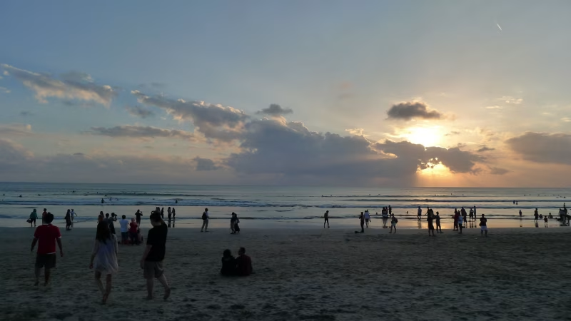
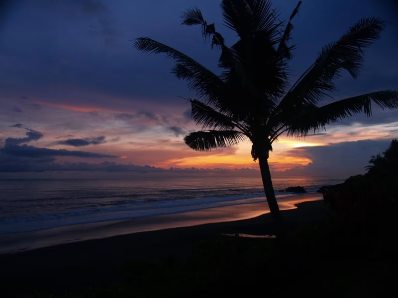
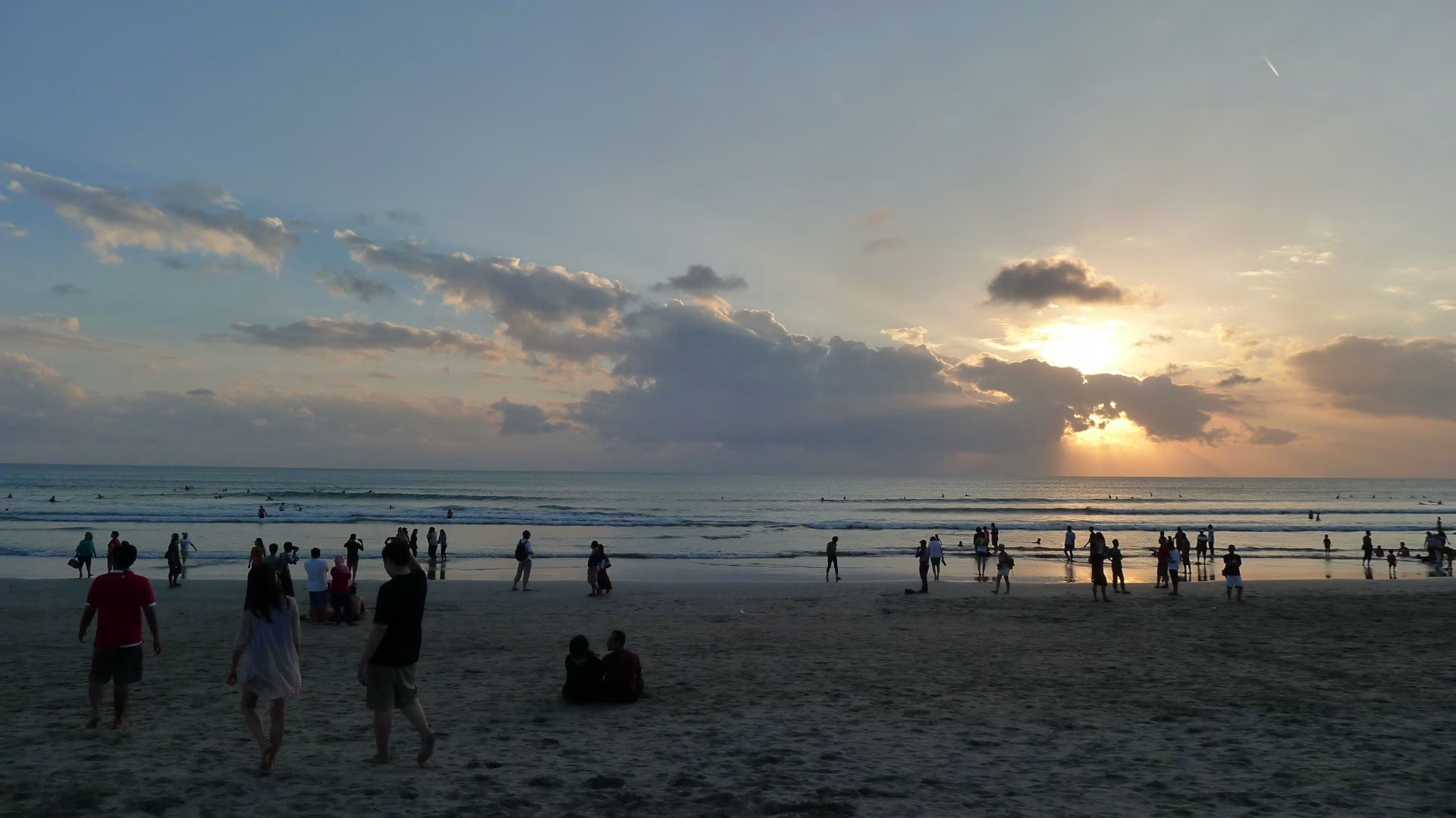
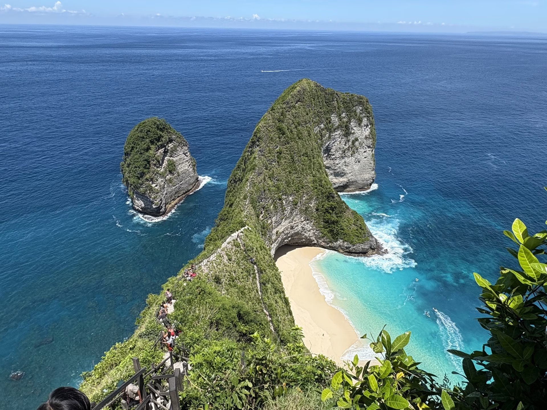
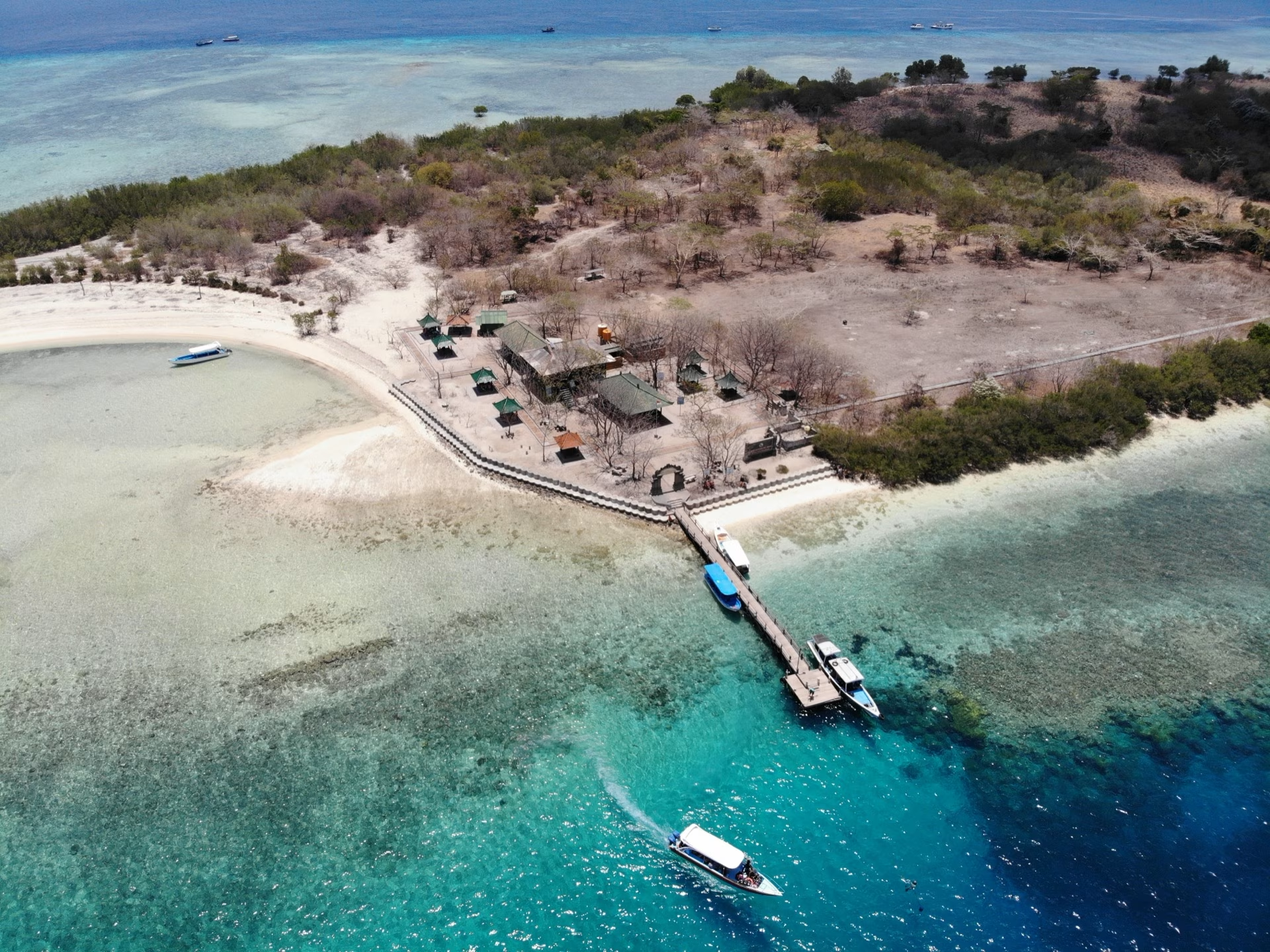
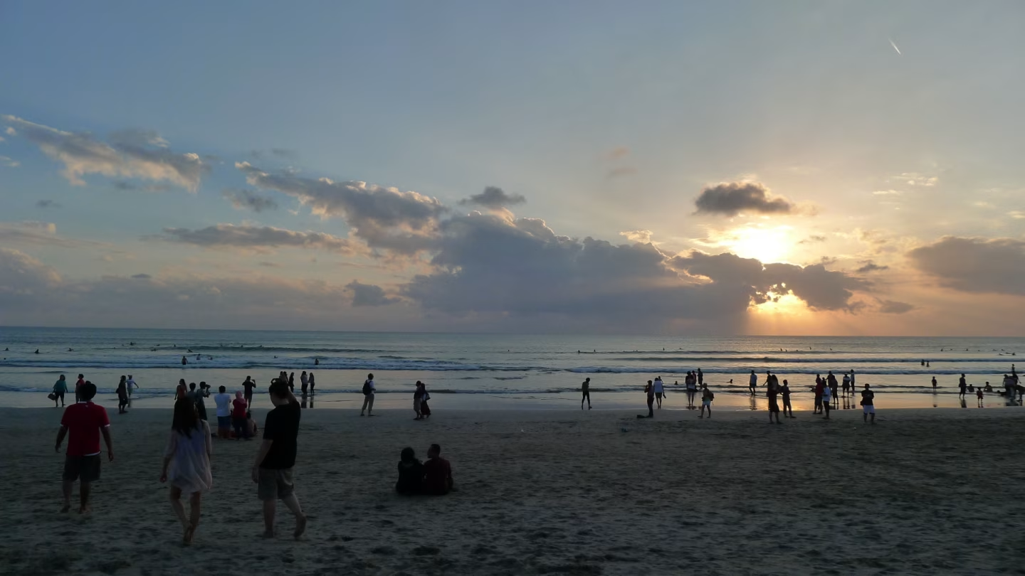
From Kuta's golden sands to Uluwatu's dramatic limestone cliffs — Bali's coastline spans over 100km of diverse beach experiences. Whether you seek surf, sunsets, or seclusion, Bali's beaches & coastline deliver unforgettable moments by the sea.
<h3>Bali's Coastline by Region</h3><p>The coastline changes character by region: the south (Kuta, Seminyak, Canggu) has wide white-sand beaches and beach clubs; the Bukit Peninsula (Uluwatu, Padang Padang, Bingin) is defined by cliffside coves and reef surf breaks; Nusa Dua and Sanur offer calmer, reef-protected water suited to families; and the east and north coasts (Amed, Lovina) have quieter black volcanic-sand beaches popular for diving and snorkeling. Nusa Penida's clifftop viewpoints — Kelingking, Diamond Beach, Angel's Billabong — are a separate island reached by boat, and are viewed more often than swum at.</p><h3>Sand, Water, and Geology</h3><p>The sand itself tells a geological story: white sand in the south and on Nusa Penida comes from coral and shell fragments, while the black sand found from Lovina in the north around to Amed and Candidasa in the east is volcanic, eroded from Bali's andesitic peaks over thousands of years. That difference also affects water temperature and visibility — black-sand beaches tend to sit near deeper drop-offs favoured by divers and snorkellers, while the shallow reef flats fronting many white-sand beaches make for calmer, clearer swimming close to shore.</p><h3>Surf Conditions and Seasons</h3><p>Surf conditions follow the same geography. The Bukit Peninsula and the beaches around Canggu face the open Indian Ocean and pick up a reliable dry-season swell from roughly April to October, which is why the international surf scene concentrates there. Nusa Dua, Sanur, and Jimbaran sit in the lee of reefs or face calmer water, so they draw families and swimmers instead. None of this is fixed forever — swell size, wind direction, and tide all change daily, so a beach that's glassy at dawn can be blown out and choppy by early afternoon.</p><h3>Development Along the Coast</h3><p>Development has followed the coastline unevenly. Kuta, Seminyak, and Canggu have grown into dense strips of hotels, beach clubs, and restaurants, while stretches of the east coast and much of Nusa Penida remain comparatively undeveloped, with fewer facilities and a slower pace. That contrast is part of the appeal for travellers who want both: a lively beach day in the south and a quieter, more scenic one further afield.</p><h3>Tips for Visiting Bali's Beaches</h3><p>A few practical tips before you go: the dry season (roughly April to October) gives the calmest seas and clearest water for snorkelling and diving, while the same months bring the most reliable surf swell on the Bukit Peninsula. Bring reef-safe sandals for rocky entries at cliff beaches like Bingin, Padang Padang, or Green Bowl, where steep stairs lead down to the sand, and always check the tide time before descending — some coves are barely swimmable or hard to exit at high tide.</p><h3>Where to Go First</h3><p>For a first visit, Padang Padang Beach and Bingin Beach pair well for the classic Bukit cliff-and-cove experience, while Nusa Dua Beach or Sanur Beach suit travellers who want calmer, reef-protected water. If you only have one day for Nusa Penida, Kelingking Beach, Broken Beach, and Angel's Billabong sit close enough together to combine in one loop from the Toyapakeh or Banjar Nyuh harbour. Divers and snorkellers get more from Amed, the USAT Liberty Wreck at Tulamben, or Menjangan Island than from the busier south-coast beaches.</p>